The land cover API
Private beta, by invitation
Aerial measurement for landscaping software, opening to a few teams at a time
Field Cover measures the turf, tree canopy, concrete, asphalt, water and buildings on a property from high-resolution aerial imagery. We’re letting teams in a few at a time, so each one works directly with the engineers who build it.
Quoting and field-service teams building with Field Cover
Use our vision to power your stack
One key puts our vision models behind your app, your agent and your clients’ websites.
Measurement API
Every surface on its own layer
Turf, tree canopy, concrete, asphalt, water and buildings come back as separate outlines, each with its square footage. Draw them on your own map and price them in your own app.
- Turf75,070 sq ft
- Tree canopy30,440 sq ft
- Concrete106,360 sq ft
- Asphalt17,400 sq ft
- Water116,560 sq ft
- Buildings227,540 sq ft
MCP server
An agent that prices the job
Ask for a price mid-conversation. The agent measures the property and quotes it on the client’s own rates.
Quote embed
Looks native wherever it lands
One embed runs as a full estimate inside your app and as an instant quote on a client’s website, in their colors and under their logo.
Inside your app
On your client’s website
Vision models that see a property the way a crew does
Our models read high-resolution aerial imagery and outline every surface individually, so turf, tree canopy, concrete, asphalt, water and buildings each receive unique precision area values.
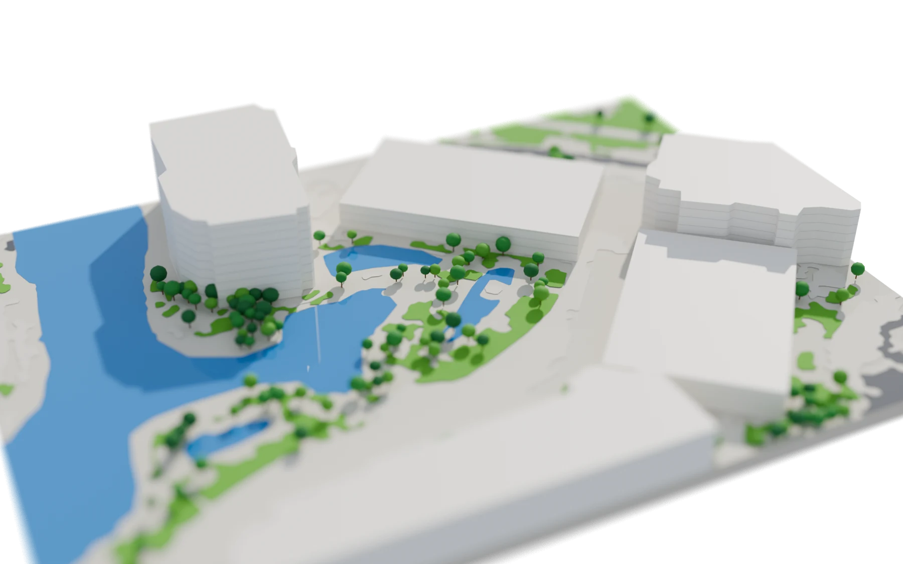
Turf
75,070sq ft
10.3% of the 726,530 sq ft site
Priced for mowing and fertilizing
Largest first. Hatched: 153,160 sq ft unclassified
Surfaces on this site
- Surface types the model tells apart
- 6
- Aerial imagery resolution
- 7.5 cm
- Properties measured
- 2.4M
- US metro areas covered
- 212
Build once, quote coast to coast
Our imagery covers 212 metro areas, so most properties your customers quote are measured the moment they type the address.
97%
of the properties landscapers quote sit inside our coverage.
Addresses outside it come back flagged, so your app never quotes a guess.
Private beta
Request an invitation
Tell us what you’re building.
Request received
We’ll write to you. If it’s a fit, your invitation comes with a time to talk.
-
We read your request. Every one, by someone on the team.
-
A short call. Twenty minutes with an engineer about what you’re building.
-
Your key. A test key with 25 sample properties, and the docs.